This is the highest mountain in the region of Slavonia in eastern Croatia, located halfway between the capital Zagreb and the city of Osijek. This park has several marked walking, mountain climbing, cycling and even horse riding trails to offer.
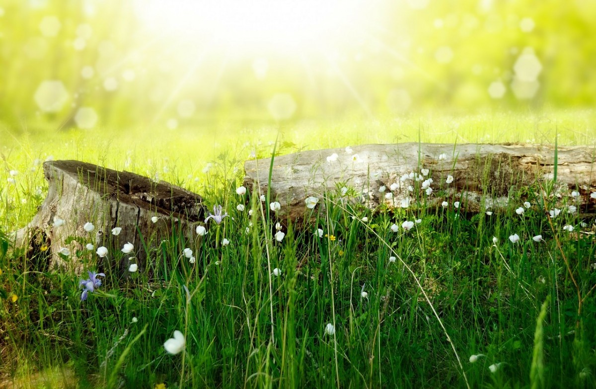
Eastern Croatia – Slavonia – is characterized as flat lowlands with large cultivated fields. However, when driving through these fields, that stretch away toward the horizon, mountains rise to almost a thousand meters above sea level from the plain which was once the bottom of the Pannonian Sea. One of these mountains is Papuk – the most beautiful mountain in Slavonia – since 1999 designated as a Nature Park due to its unique geological features, abundance of wildlife and cultural heritage. Since 2007 Papuk was also given the status of Geopark.
The visitors Centre and main entrance to Papuk NP is located in the town of Velika, about 14 kilometres from Požega. The centre offers permanent, temporary and audio-visual exhibitions about biology, geology en history, and many fossils are on permanent display. Near the visitor centre you can enjoy thermal pools, walking trails, mountaineering paths, paragliding and rock free- climbing.
Geocaching
Geocaching is an outdoor activity that is similar to a treasure hunt. The goal of the activity is to find hidden containers known as caches or geocaches using GPS devices or smartphones. Individuals who practice this activity place a cache in an outdoor location and post the cache’s latitudinal and longitudinal coordinates on the Internet. Other geocachers then use their GPS devices to download the coordinates and cache descriptions from the Internet in order to find the caches. Once the participant has found the cache, they may log their findings on the Internet.
Mountain biking
A perfect area for mountain biking through numerous forest paths which pass through the most beautiful parts of Papuk is a perfect way of recreation and getting to know the beautiful area of Papuk. There are six marked routes with a total length of more than 100km
Mountain bike trails (Velika area)
- Velika – Sokoline – Mališćak – Velika, just 18,5 km starts and finishes in Velika at the St. Augustine church with an elevation gain of 532 m with most of the route over forest and gravel roads
- Velika – Dubočanka – Velika, 20,8 km long and starts and finished in Velika at the St. Augustine church with an elevation gain of 446 m the roads goes on forest, gravel and asphalt roads
- Velika – Jezerce – Jankovac – Velika 23,8 km in length and starts and finished in Velika at the St. Augustine church with an elevation gain of 736 m
Mountain bike trails (Kutjevo area)
- Labrusca trail is just 10,9 km long and starts and ends in Venje, at the chapel the elevation gain is 226m and the route runs along gravel roads through forest and vineyards and just a small part is on asphalt roads through the villages.
- Vinea trail, is 12,2 km in length starts and ends in Venje, at the chapel the elevation gain is 308m and the route runs along gravel roads through forest and vineyards and just a small part is on asphalt roads through the villages.
- Graševina trail is 19,2 km in length starts and ends in Venje, at the chapel the elevation gain is 306m and the route runs along gravel roads for about half of the time and the other half is on asphalt roads along the wine-route Kutjevo-Venje.
Hiking
A very long tradition of hiking on Papuk has resulted in various networks of marked hiking trails, approximately 200 kilometres long. Here are a few trail examples:
Velika (church) – Lapjak – Nevoljaš – Jankovac is 8,9 km in length and takes about 3 hours and 15 minutes, it starts in Velika at the St. Augustine church and ends at Jankovac, the elevation gain is 615m.
Velika (church) – PD Lapjak – Kaniška glava – Češljakovački vis is 8,5 km in length and takes about 2 hours and 15 minutes, it starts in Velika at the St. Augustine church and ends at the hilltop of Češljakovački vis the elevation gain is 614m.
Velika (church) – Mališćak – Orahove vode – Ivačka glava is 8,8 km in length and takes about 3 hours, it starts in Velika at the St. Augustine church and ends at the highest reachable top of Papuk ‘Ivačka glava’ the elevation gain is 705m.
Kamenski Vučjak (“Lula”) – Kamengrad is 2,8 km in length and takes about 45 min, starts in Leštat („Lula“) and ends at the medieval ruins of castle Kamengrad, the elevation gain is 290m.
Furthermore, at Papuk NP you have the opportunities to go paragliding, sport climbing and horse riding.
Entrance to the park is free, you can buy in advance through the webshop of the Croatian national parks a ticket/reservation for the new (2017) campingsite, when you arrive you have to additionally pay for the total number of persons, tent/mobile home/car, pet and electricity.
Address
Stjepana Radica 46, 34330 Velika
Contact
telephone +385 34 313 030
website www.papukgeopark.com and www.parkovihrvatske.hr
